WINTER STORM WATCH REMAINS IN EFFECT FROM FRIDAY MORNING THROUGH SATURDAY MORNING
WHAT:
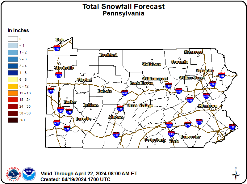
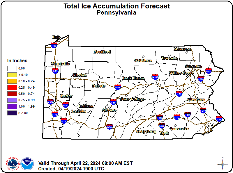
Heavy mixed precipitation possible. Total snow and sleet accumulations between 2 and 4 inches and ice accumulations around a light glaze possible.
WHERE:
A portion of central Pennsylvania.
WHEN:
From Friday morning through Saturday morning.
IMPACTS:
Hazardous travel conditions are likely. Plan on slippery road conditions. The hazardous conditions could impact the Friday morning and evening commutes.
Recommended Actions:
Monitor the latest forecasts for updates on this situation.
Updated:
December 25, 2025 at 02:13 EST
Event Onset:
December 26, 2025 at 07:00 EST
Event End:
December 27, 2025 at 07:00 EST
Severity:
Severe
Urgency:
Future
Certainty:
Possible
Issued By:
NWS State College PA
Area(s):
Columbia
Montour
Northern Lycoming
Northumberland
Schuylkill
Southern Lycoming
Sullivan
Tioga


