WINTER STORM WATCH IN EFFECT FROM SATURDAY EVENING THROUGH MONDAY AFTERNOON
WHAT:
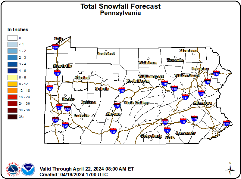
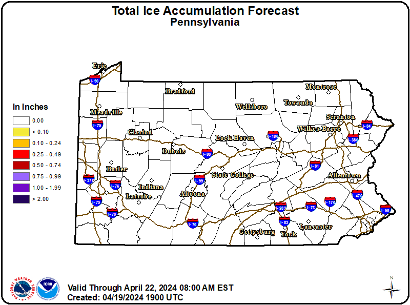
Heavy snow with significant accumulations possible. Snow may mix with or transition to sleet in southern PA on Sunday and Sunday night.
WHERE:
A portion of central Pennsylvania.
WHEN:
From Saturday evening through Monday afternoon.
IMPACTS:
Roads, and especially bridges and overpasses, will likely become slick and hazardous. Travel could be difficult late Saturday night through Monday morning.+
Recommended Actions:
Monitor the latest forecasts for updates on this situation.
Slow down and use caution while traveling. The latest road conditions for the state you are calling from can be obtained by calling 5 1 1 or visiting 511PA.com.
Updated:
January 22, 2026 at 02:06 EST
Event Onset:
January 24, 2026 at 22:00 EST
Event End:
January 26, 2026 at 13:00 EST
Severity:
Severe
Urgency:
Future
Certainty:
Possible
Issued By:
NWS State College PA
Area(s):
Adams
Bedford
Columbia
Cumberland
Dauphin
Franklin
Fulton
Huntingdon
Juniata
Lancaster
Lebanon
Mifflin
Montour
Northern Lycoming
Northumberland
Perry
Schuylkill
Snyder
Southern Lycoming
Sullivan
Tioga
Union
York