WINTER STORM WATCH IN EFFECT FROM LATE TONIGHT THROUGH MONDAY AFTERNOON
...IMPACTFUL WINTER STORM TO BRING HEAVY SNOWFALL TO CENTRAL PENNSYLVANIA...
WHAT:
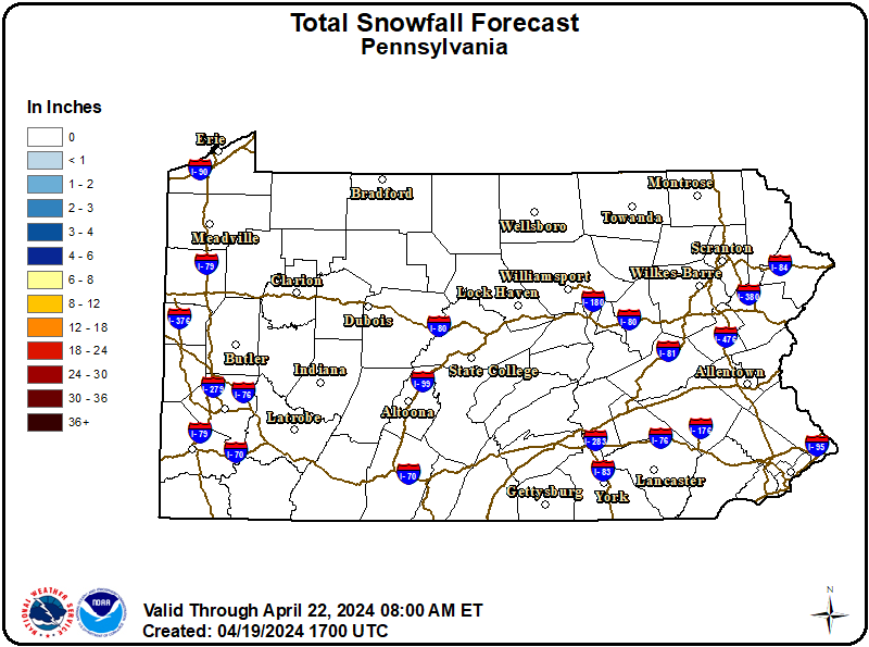
Heavy snow possible. Total snow accumulations between 3 and 8 inches possible. Winds could gust as high as 40 mph.
WHERE:
A portion of central Pennsylvania.
WHEN:
From late tonight through Monday afternoon.
IMPACTS:
Travel could be very difficult. The hazardous conditions could impact the Monday morning commute.
ADDITIONAL DETAILS:
Uncertainty remains for where the heaviest snow bands will occur. Snow totals could be higher depending on these localized bands.
Recommended Actions:
Monitor the latest forecasts for updates on this situation.
Updated:
February 21, 2026 at 13:43 EST
Event Onset:
February 22, 2026 at 05:00 EST
Event End:
February 23, 2026 at 13:00 EST
Severity:
Severe
Urgency:
Future
Certainty:
Possible
Issued By:
NWS State College PA
Area(s):
Bedford
Blair
Clearfield
Columbia
Franklin
Fulton
Huntingdon
Juniata
Mifflin
Montour
Northern Centre
Northumberland
Snyder
Southern Centre
Sullivan
Union