WINTER WEATHER ADVISORY REMAINS IN EFFECT UNTIL 7 AM EST SATURDAY
WHAT:
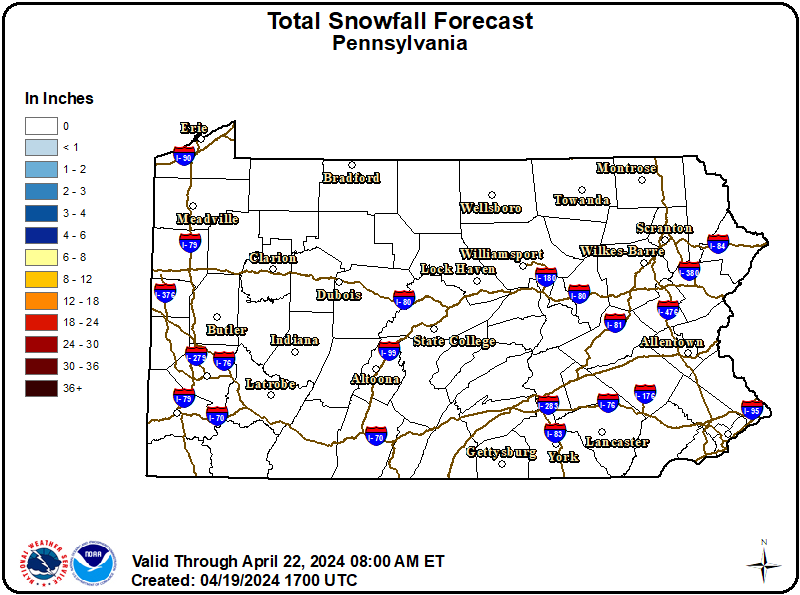
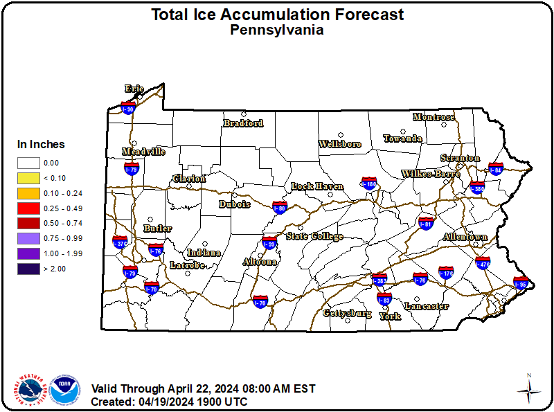
Mixed precipitation. Additional snow and sleet accumulations up to one inch and ice accumulations up to two tenths of an inch.
WHERE:
A portion of central Pennsylvania.
WHEN:
Until 7 AM EST Saturday.
IMPACTS:
Plan on slippery road conditions. The hazardous conditions will impact the Friday evening commute.
ADDITIONAL DETAILS:
Precipitation will taper off from west to east overnight. Patchy freezing drizzle could linger through Saturday morning.
Recommended Actions:
Slow down and use caution while traveling. Visit 511pa.com for the latest travel, roadway, and traffic conditions.
Updated:
December 26, 2025 at 15:27 EST
Event Onset:
December 26, 2025 at 15:27 EST
Event End:
December 27, 2025 at 07:00 EST
Severity:
Moderate
Urgency:
Expected
Certainty:
Likely
Issued By:
NWS State College PA
Area(s):
Adams
Bedford
Blair
Cameron
Columbia
Cumberland
Dauphin
Franklin
Fulton
Huntingdon
Juniata
Lancaster
Lebanon
Mifflin
Montour
Northern Centre
Northern Clinton
Northern Lycoming
Northumberland
Perry
Potter
Schuylkill
Snyder
Southern Centre
Southern Clinton
Southern Lycoming
Sullivan
Tioga
Union
York