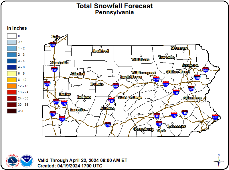
...FIRST WIDESPREAD SNOW OF THE SEASON...
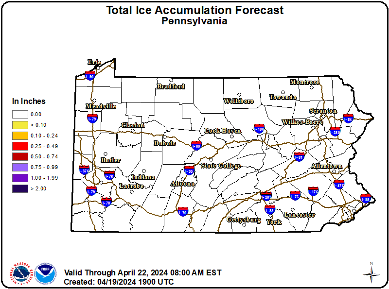
.A quick-hitting system will bring accumulating snow to all of Central PA late Monday night into early Tuesday afternoon. Hazardous travel is expected for the morning commute on Tuesday, with a plowable snow expected areawide. Snow may mix with sleet or freezing rain near the Mason-Dixon line, where a glaze of ice is possible. Snowfall totals over 6 inches are possible at higher elevations east of US-15 and north of the I-81/I-78 corridor.
WHAT:
Snow expected. Total snow accumulations between 3 and 5 inches.
WHERE:
Montour and Northumberland Counties.
WHEN:
From 3 AM to 1 PM EST Tuesday.
IMPACTS:
Roads, and especially bridges and overpasses, will likely become slick and hazardous. Plan on slippery road conditions. The hazardous conditions will impact the Tuesday morning commute.
ADDITIONAL DETAILS:
Snowfall rates approaching 1 inch per hour are possible.
Slow down and use caution while traveling. The latest road conditions for the state you are calling from can be obtained by calling 5 1 1.